


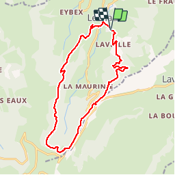

11.2 km | 21 km-effort


User


FREE GPS app for hiking
 SityTrail
IGN / Geographical institutes
SityTrail World
The world is yours!
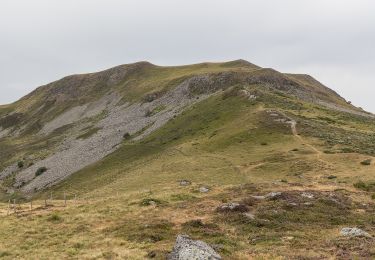
Trail Mountain bike of 16.4 km to be discovered at Auvergne-Rhône-Alpes, Cantal, Le Claux. This trail is proposed by sebcar.
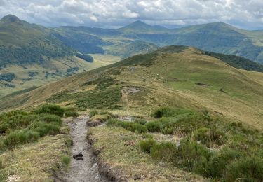
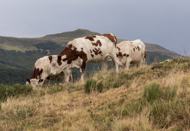
Tracé VTT1 au coeur du cirque glaciaire de la Petit Rhue. Ascension du col difficile dans un chemin caillouteux

Walking

On foot

On foot

On foot
Walking
Walking
Walking
On foot
On foot